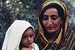
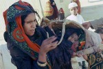
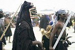
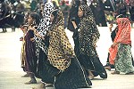
LINKS


T Sole Home page


Galleries


Tawi Attair
East Jebel Area
Salalah
West Dhofar
NE Dhofar Coast
Kuria Muria Islands


Select below a 'Row' Button for a page with larger images of the row of photographs


Row 1


Row 2


Row 3


Row 4


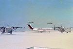
Dhofar Area photographs from Trish Sole

SALALAH and Coastal Plain


Taqua from the air
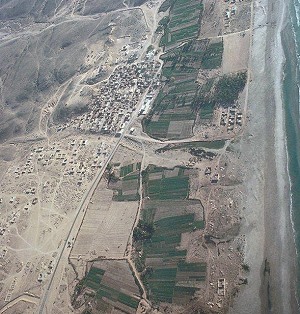
It is amazing that as late as early in 1974 Salalah was almost surrounded by adoo on the jebel, and regularly received 'incomers'.


Then SAF started to move to establish a presence at strategic locations on the jebel, Iranian and Jordanian support on the ground plus increased air movement support enabled CAD programme to work as soon as an area was reasonably safe.


By 1975 the Salalah Plain sprouted the start of the black-topped road northwards towards Thumrait and preparatory construction of other roads on the Salalah plain. The photograph on the right shows the coastal town of Taqua from the air, with the new road under construction from Salalah entering the photograph (bottom left).


Below we concentrate on photographs of people within Salalah and show some hospital patients and staff. It should be noted that Trish received permission to take the photographs, especially portrait style pictures.


TO TOP OF PAGE