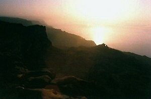
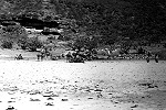
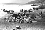
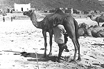
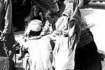
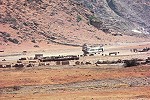
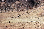
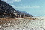
Photographs of The Sultanate of Oman 1974 - 76
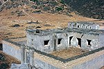
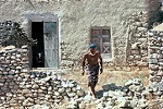
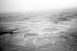
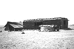
Dhofar Area

Photographs of The Sultanate of Oman 1974 - 76 Dhofar Area |
|
|
LINKS
Galleries
|
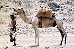
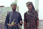
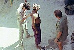
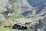
Dhofar Area photographs from Trish Sole
|
| Copyright © 2013 Kdesign | EMAIL: post@bizness.co.uk | Web Site 3rd Edition |